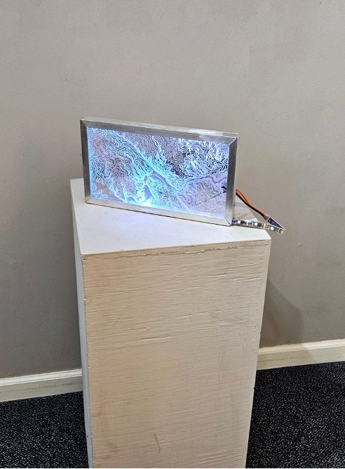
datastream (Blizzard of ’96), 2024. Arduino, LEDs, Etched Plexiglass, Aluminum, 12″ x 8″ x 1″.

In the series of works in my datastream project, I am interested in creating a portrait of our land through the bodies of water that inhabit it, and the ways in which we can know a space through data, and the many ways through which data-driven ways of knowing will still fail us by presenting a limited view. By using topographical maps etched onto plexiglass, illuminated by waterflow data translated to LED light colors, I am highlighting two bodies of water (Minebank Run and Long Green Creek) with the waterflow data collected during the blizzard of 1996.